In production
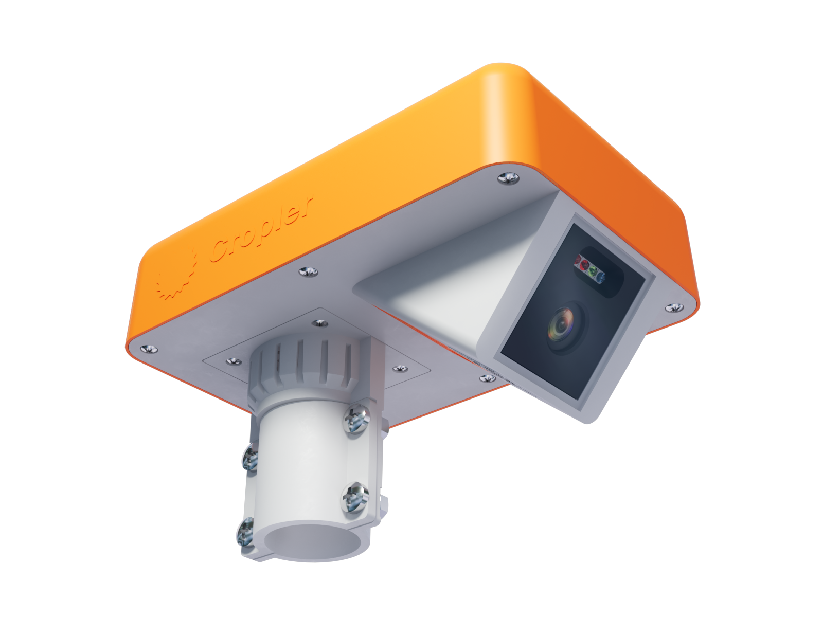
Agri Camera
2048×1540 · 12-bit · 80 ha
Compact field camera with built-in multispectral sensor, GPS, and a hyperlocal weather station. Captures RGB and NDVI three times a day. Solar-powered, eSIM, maintenance-free.
Field cameras, calibrated soil sensors, full seasons of data, and ready-to-use backbone models — the physical layer that modern agricultural AI systems are built on.
Research labs building agronomic agents need sensor-fused data grounded in reality. AI companies want to license a ready-made imaging pipeline — not build one from scratch.
The market has split clearly: companies that want to build software, and the infrastructure that should support them. That infrastructure is missing.
Wants to build a product, not deploy sensor networks
No ready field infrastructure tuned for ML pipelines
It takes years to collect historical data covering full seasons
While others stumble over the physical world, we built an end-to-end data platform. We've combined a network of field sensors, automated processing pipelines, and ready ML models into a single ecosystem. All that's left for you is to plug in.
Nothing to deploy. You get a continuous, synchronized stream of real-world data: multispectral plant imagery, soil metrics, and high-precision weather — already structured for ML pipelines.
No months spent on baseline training or labeling from scratch. We provide core models already trained on our multi-year historical datasets of real field imagery.
We don't just collect data — we help deliver value. Our infrastructure lets software companies seamlessly roll out their products and make AI analytics available to farmers worldwide.
Compact field camera with built-in multispectral sensor, GPS, and a hyperlocal weather station. Captures RGB and NDVI three times a day. Solar-powered, eSIM, maintenance-free.
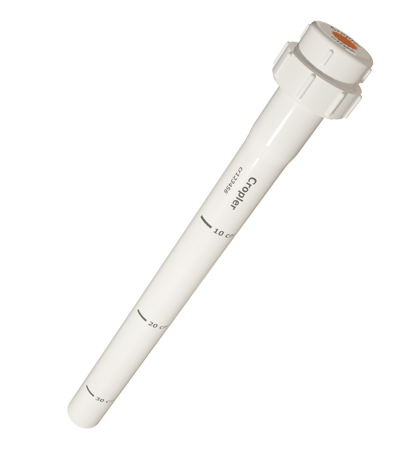
Capacitive soil moisture probe with readings every 10 cm down to 60 cm depth. 3-year battery, BLE transmission, time- and location-synced with the camera.
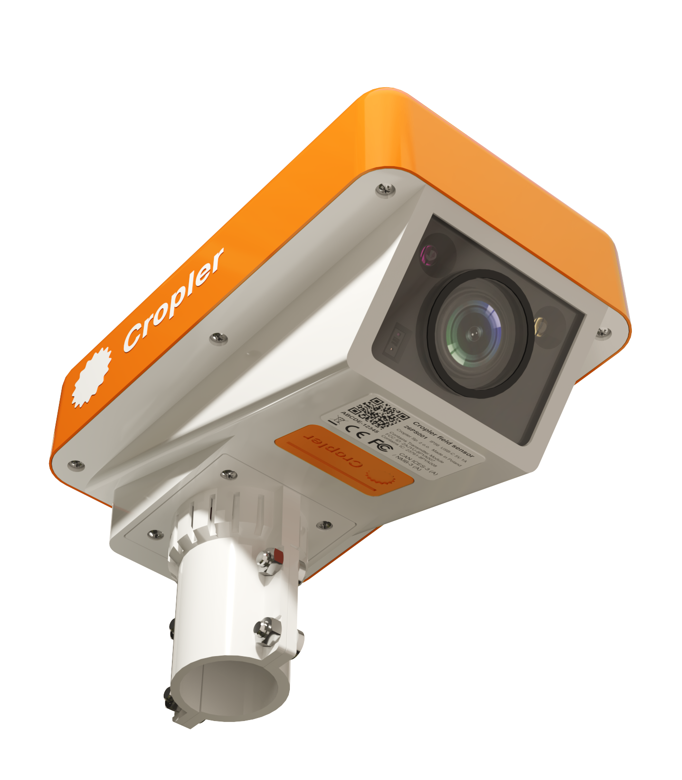
Next-gen hardware for research workflows. Sony sensor, STM Edge AI chip, ToF for 3D biomass measurement, fisheye + zoom, active cooling for lab-grade precision.
Together, these three devices give you a synchronous top-to-bottom snapshot of the plant: canopy state, spectral anomalies, weather right above the field, and soil moisture in the root zone — all in a single pipeline ready for integration.
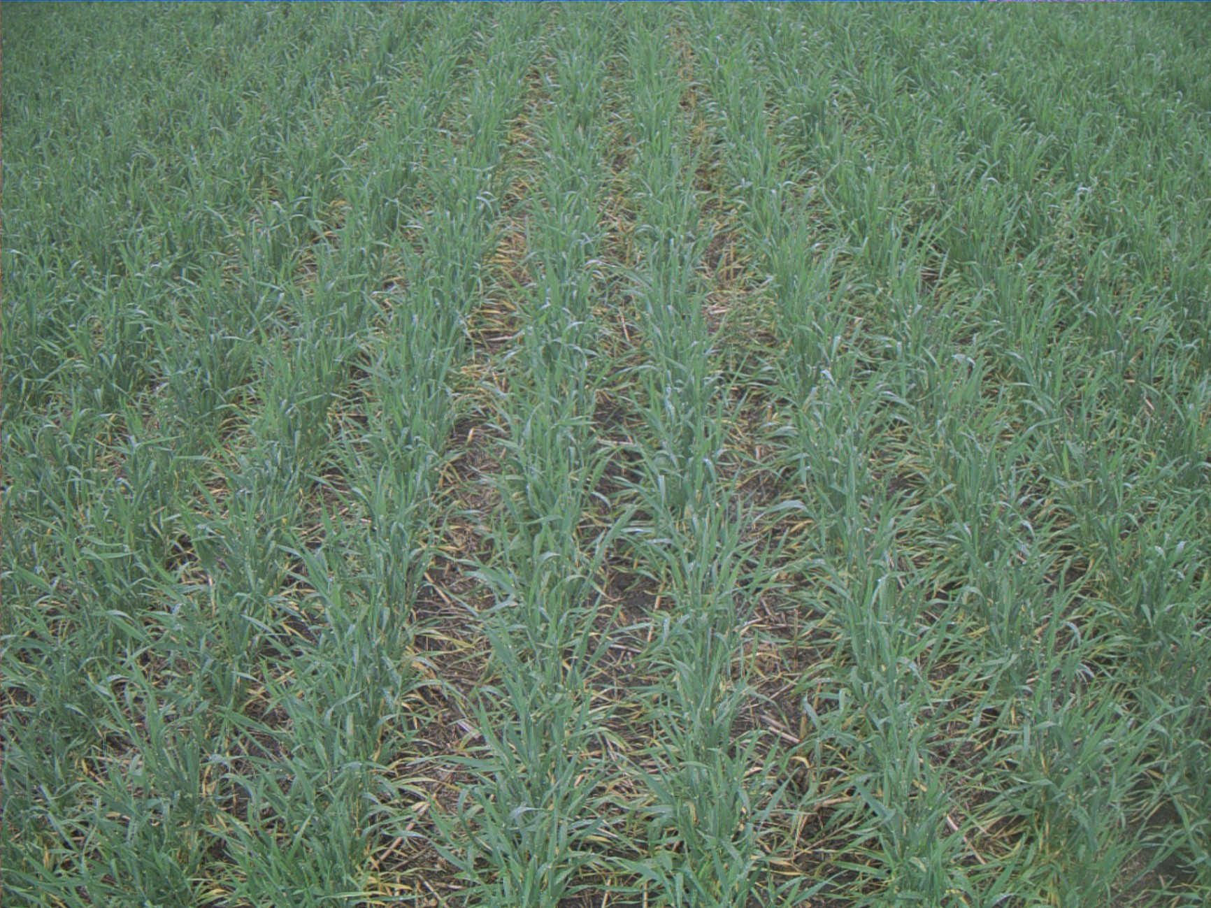
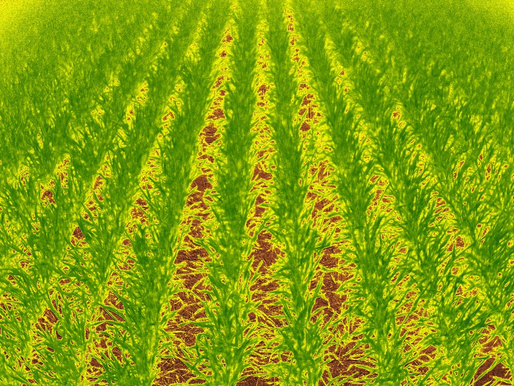
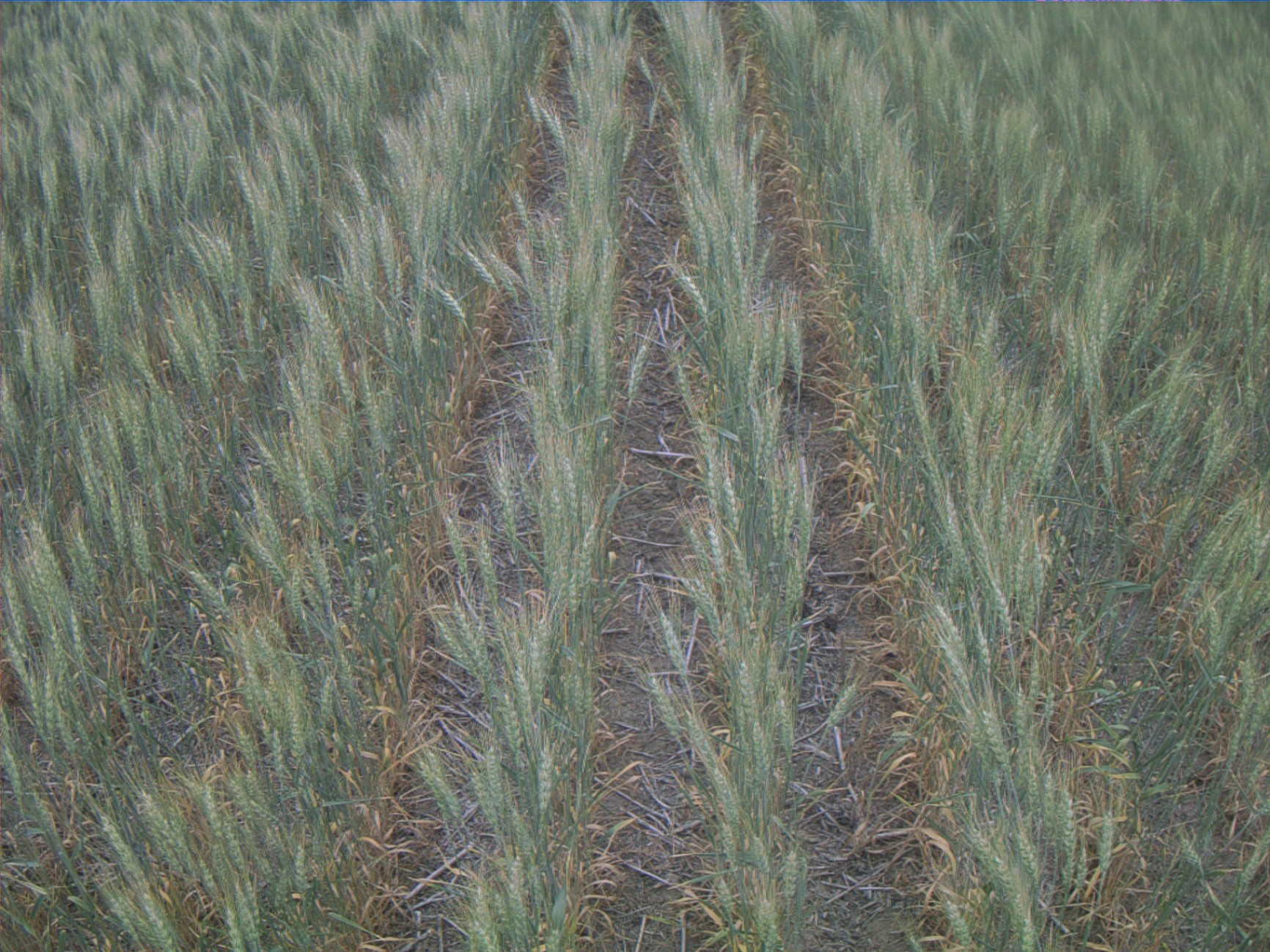
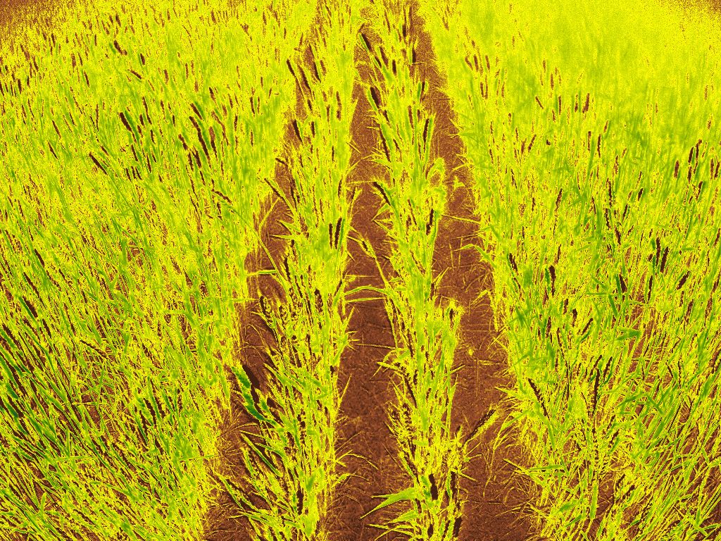
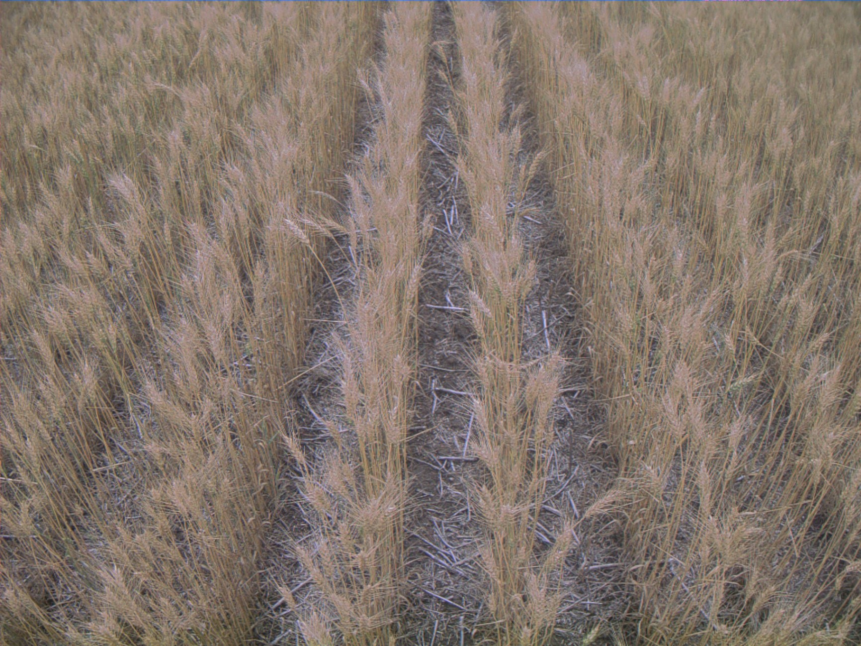
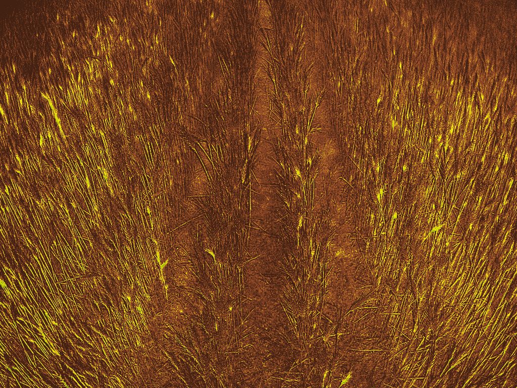
Plant health index captured 3 times a day, building a high-resolution temporal curve.
Your models transition from basic computer vision to advanced time-series forecasting. The AI learns the velocity of growth — tracking how NDVI accelerates during tillering, dips during drought, and recovers after rain.
Real-time temperature, humidity, and solar radiation measured on-device at the exact moment of image capture.
Eliminates environmental noise. Instead of using delayed, averaged data from stations 20 km away, every image carries its own microclimatic metadata. Your model instantly correlates visual plant stress with immediate weather spikes.
Volumetric water content (VWC) and soil temperature sampled every 10 cm, down to a depth of 60 cm.
Unlocks predictive modeling. Your AI forecasts final yields weeks before stress becomes visible on cameras, and evaluates fertilizer efficiency by tracking whether nutrients are actively dissolving or sitting stranded in dry topsoil.
Every data point is natively tied to a specific physical field, regional microclimate, crop hybrid, and agroclimatic zone.
Building highly accurate, localized AI solutions for specific regions. Your models escape inaccurate, averaged global datasets and train on ground-truth data from the exact territories your clients farm in.
Training a good agricultural model is a data problem, not an architecture one. Most teams start with ImageNet and fine-tune on a hundred photos. The result is predictable. We provide a backbone pretrained on thousands of hours of real field imagery across climates and crops.
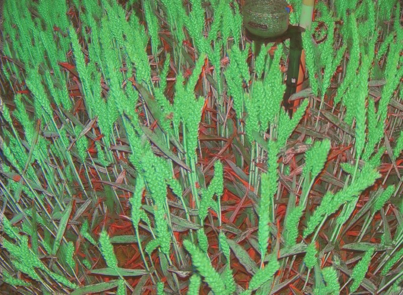
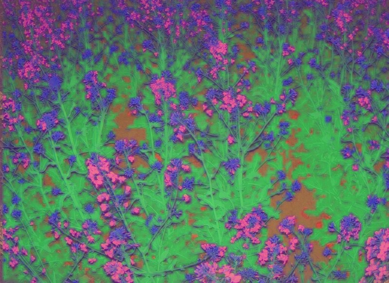
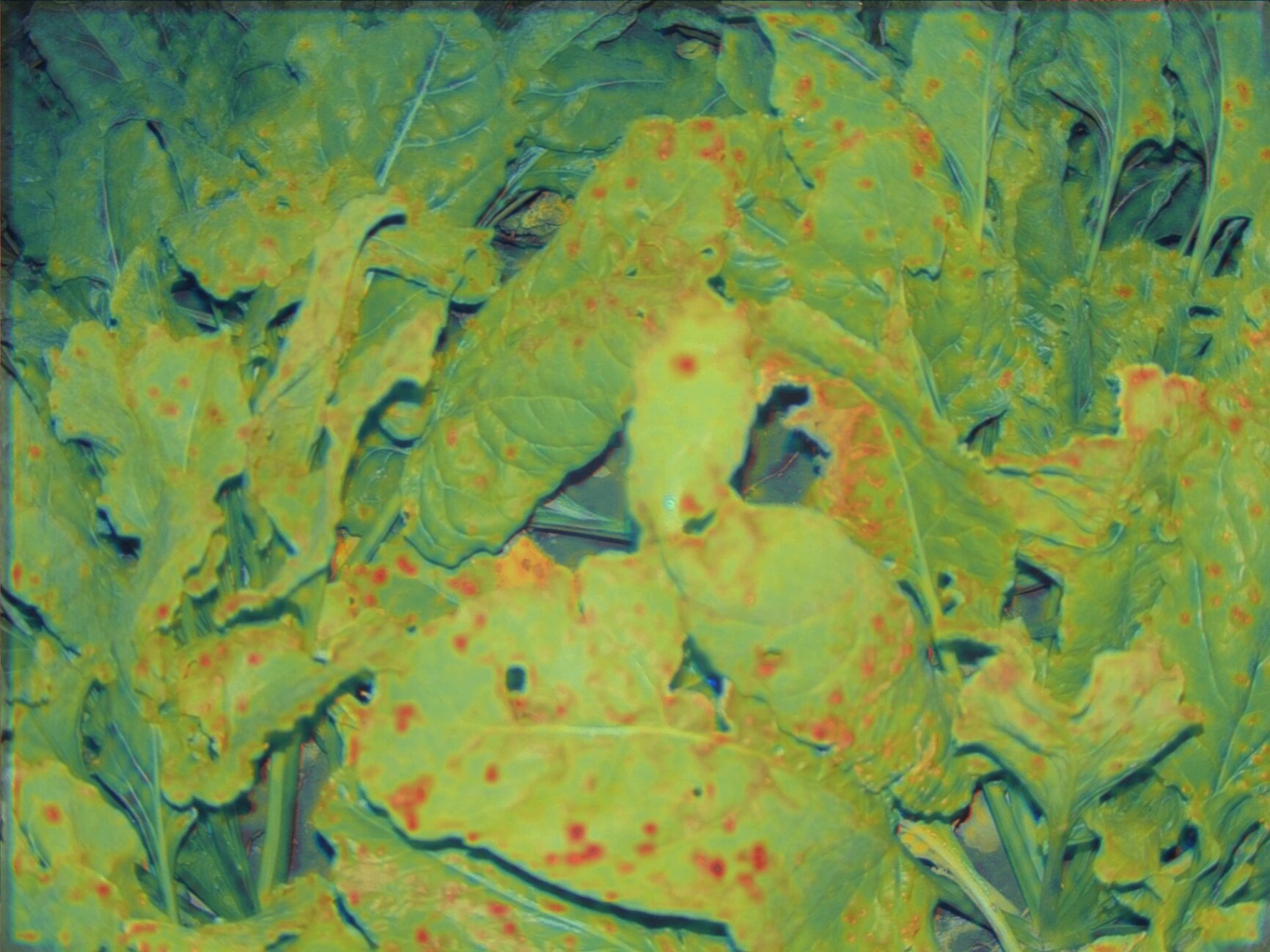
A versatile, pre-trained core vision model that acts as an instant foundation for any crop-related ML task.
Plug-and-play integration. Skip months of training generic models from scratch; drop this backbone into your pipeline to get immediate biological intelligence with minimal engineering effort.
A specialized spatial model optimized for geometric, high-resolution RGB pixel-level dense prediction.
Precise shape and structure recognition. It isolates tissues from soil and supports an arbitrary number of custom classes—allowing you to map specific plant organs, lesions, or crop-weed boundaries by simply plugging a decoder on top.
A multimodal network that fuses visual spectrum (RGB) and infrared dynamics (NDVI) into a rich semantic embedding space.
Advanced physiological diagnostics. It catches invisible anomalies and early-stage stress before they manifest visually, delivering clean feature embeddings for downstream classification, yield regression, and anomaly detection.
An API endpoint that fuses three data layers — crop imagery, soil telemetry, and hyperlocal weather — into a single structured text or vector representation.
Powering autonomous agronomic agents. It translates the entire physical reality of the plant into a clean context package. Feed it directly into your LLM so it can understand the complete environment and generate expert advice.
A continuous, ground-truth research pipeline with zero operational overhead.
High-fidelity physical data streams synced with multispectral imagery, eliminating the need to engineer, deploy, and maintain your own field sensor networks for R&D.
Empirical, week-by-week verification of product performance in the real world.
Continuous tracking of exactly how crops respond to your inputs—mapping everything from vegetative canopy speed (NDVI dynamics) to actual root-zone resource consumption.
Complete infrastructure abstraction to radically accelerate your time-to-market.
Ready-to-use data streams, pre-trained vision backbones, and multimodal context layers available via API. Focus on building your core software product, not the hardware under it.
24/7 hyper-local situational awareness for high-stakes decision-making.
A unified dashboard aggregating plant health, deep soil telemetry, and canopy-level microclimates. Spot stress factors early, optimize field interventions, and deliver accurate agronomic advice.
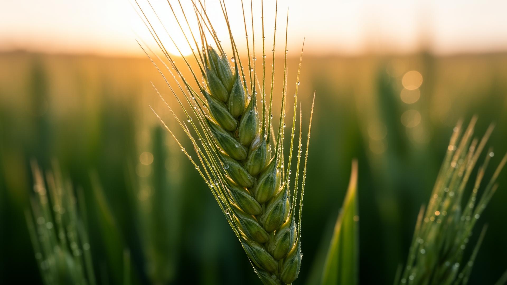
A 500 g camera, solar charging, eSIM — install it between rows and forget it. Up to 80 ha per device.
Drones — once every two weeks. Satellites — 10 m/pixel. Weather stations — 30 km away. Cropler — three times a day, right above the plant, with soil and weather.
Standardized schedule, time and location sync, time-series, pretrained backbone — structured for an ML pipeline.
Tell us about your use case — we'll match the right level of integration, from dataset licensing to deploying a custom sensor network for a research project.